Candy Hansen wrote:A Landing Site in Ladon Vallis (ESP_034987_1595) (HiClip)
One of the important tasks HiRISE has is to image potential landing sites for future rovers. A landing site must have relatively mild terrain so that the vehicle can land successfully, but it must also contain interesting places to study.
We can imagine that a rover landing here would take a look at the bright patch of ground, to study its composition: were the minerals formed in the presence of water? It might spend some time checking out the rocks excavated out of the small crater to study the minerals just below the surface, tossed out when the impact took place.
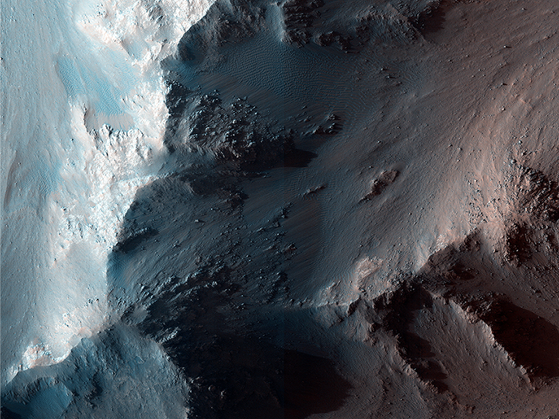
Matthew Chojnacki wrote:RSLs and Colorful Fans along Coprates Chasma Ridge (ESP_029226_1670) (HiClip)
This site along a Coprates Chasma ridge shows what are called recurring slope lineae (or RSL) on generally north-facing slopes in northern summer/southern winter (latitude 12.9 degrees S, longitude 295.5 degrees E). With an animation constructed from multiple co-located images, we can detect surface change and constrain the RSL phenomena.
An enhanced color image illustrates the “greenish” fans and deposits associated with RSL. Two of these fans transition downslope into ripples. (HiRISE IRB color--near-infrared, red, and blue-green bandpasses--are displayed as red, green, and blue, respectively).
All of the lineae here and in the larger scene appear to originate from relatively bright bedrock outcrops. Some of the fans that RSL flow over became darker and brighter over time. Image is approximately 950 meters wide.
Also see http://www.uahirise.org/sim/2013-12-10/.
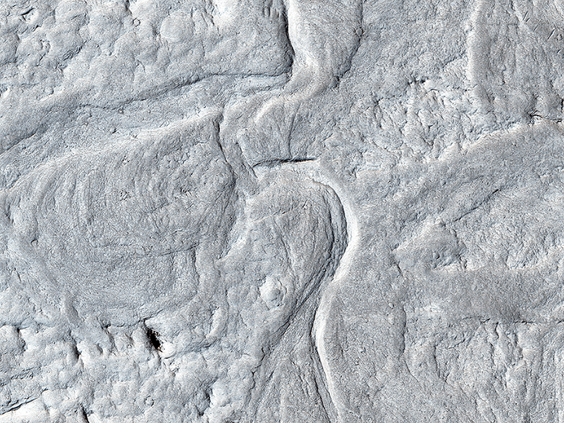
Alfred McEwen wrote:Sinuous Ridges and Meanders (ESP_034189_1740) (HiClip)
These ridges are thought to be old river channels, but wind erosion has created inverted topography. What was low (the channel bottoms) was more resistant to erosion, so now it is relatively high.
In a closeup image, we see a cutoff meander. This forms as a river cuts its outer bank and curves more and more, until it decides to take a “short-cut.” The abandoned channel may have formed an oxbow lake, when water was present. This type of river system forms slowly over time, unlike the catastrophic flood channels seen elsewhere on Mars.
Be sure to look at the stereo anaglyph with red-green glasses at full resolution.
This is a stereo pair with ESP_034044_1740.
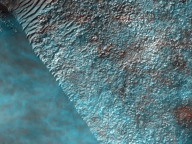
Alfred McEwen wrote:High-Altitude Clouds on Mars (ESP_034342_1315) (HiClip)
The standard color images for this observation look really weird. The reason is apparent by looking at an animation of the color images. These were acquired in a particular sequence: first blue-green (BG), then RED, then infrared (IR), and the animation shows them in this sequence.
What we see are thin condensate clouds moving relative to surface features. They appear to move 200 meters distance over the 0.1855 second between the infrared and blue-green imaging, or 1.08 kilometers per second! Wait, that's supersonic—can clouds do that? NO!
The MRO spacecraft also moved 603 meters along its orbit in that 0.1885 second frame, so from 260 kilometers altitude, we have a stereo convergence angle of 0.133 degrees. Such a small convergence angle would be useless for stereo imaging of surface features up to only about 1 kilometer high, but clouds can be much higher.
If the clouds were half as high as MRO (or 130 kilometers), they should appear to move 603 meters relative to surface features. Since they only moved 200 meters, their heights must be approximately 42 kilometers. Previous imaging experiments have measured Martian clouds up to 80 kilometers in height. High cirrus clouds on Earth extend up to about 12 kilometers in height, but the lower gravitational acceleration of Mars creates a more extended atmosphere. The high clouds on both Earth and Mars are composed of ice crystals, although on Mars they may be from carbon dioxide rather than dihydrogen monoxide (water).
Credit: NASA/JPL/University of Arizona
<< Previous HiRISE Update


