HiRISE Science Team wrote:What Gullies Can Say (ESP_027989_1425) (HiClip)
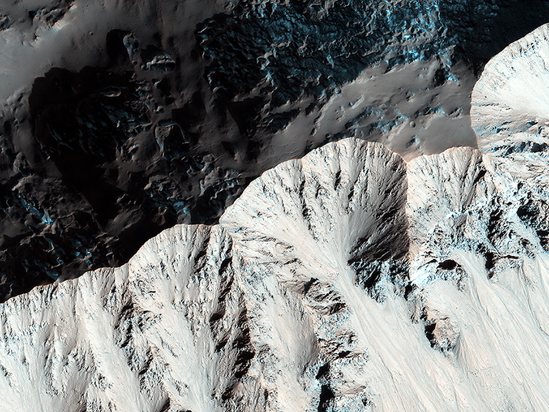
Right past the sharp, but warped rim of this ancient impact crater are deposits of winter frost, which show up as blue in enhanced color.
There are two possible science goals that we can study here: what does the terrain look like during the Martian summer, because HiRISE resolution can track changes over time. And second, could the gullies in this crater be a reasonable place to look for recurring slope lineae (or RSL) to occur? The slopes of certain craters have been home these phenomena in other regions as well.
Note: the images here are not map-projected, so approximate north is down.
HiRISE Science Team wrote:The Busy Flank of Arsia Mons (ESP_031944_1790) (HiClip)
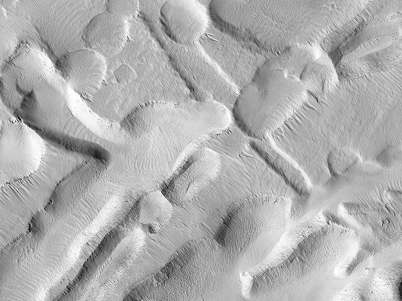
This observation shows an incredible diversity of ancient lava tubes and impact craters filled with sediment on the flank of Arsia Mons.
The rationale for this observation is to get a better look at those lava tubes; their shapes, morphology, and erosional degradation, which ultimately might help to date active period when lava flowed through the volcano. We will also be able to see in high resolution an erosional “snapshot” of the collapsed lava tubes and how they have been modified by dust falling from the air, mass-wasting, and impacts over time.
This is a stereo pair with ESP_030876_1790.
Ryan Ewing wrote:At the Edge of a Polar Cap (ESP_035926_2640) (HiClip)
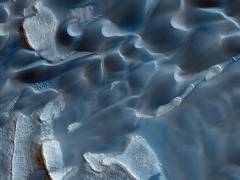
Formative down-slope winds descending on Mars’ North Polar ice cap likely play an important role in transporting sediment from the base of the ice cap into the dune fields that sit beyond the ice cap.
The deep chasm that formed on the polar cap edge is identified as an area of strong down-slope winds and has a clear connection to Mars’ largest dune field, Olympia Undae. Repeat HiRISE images from this chasm that specifically targets the dunes, provides the basis to evaluate the sand fluxes which are associated with the dune and ripple movement in this area.
Bruce Cantor and Guy Webster wrote:Global Eyes on an Impact Prize (ESP_036059_1835) (HiClip)
On 20 March 2014, a dark spot on the surface Mars, about 5 miles (8 kilometers) in diameter was seen for the first time in low-resolution (approximately 1 kilometer) imaging from the Mars Color Imager (MARCI) camera on Mars Reconnaissance Orbiter (MRO). Because MARCI sees essentially the whole planet every day, the sudden appearance of a dark spot was of note.
To follow up, the Context Camera (CTX) obtained a high resolution picture of the area in question in early April. Before and after imaging revealed two new large impact craters within the blast zone. At 6 meters per pixel, CTX can detect the dark blast locations but usually cannot resolve the crater that formed the blast, because most fresh impact craters are only a few meters across.
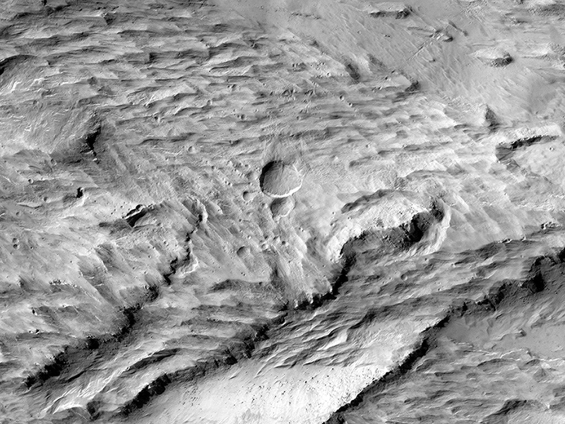
This is where the high resolution of HiRISE comes in: our camera was able to show the fine surface details within the blast zone. The largest of the new craters, appears slightly asymmetric in shape, and measures 159 x 143 feet (48.5 x 43.5 meters) in diameter, making it the largest new crater detected on Mars by MRO to date. Both HiRISE and CTX images also show numerous, new, small landslides within the blast zone.
All of these coordinated observations also demonstrate how different teams on the same spacecraft can work together to examine interesting features in greater detail.
Note: a newer image of this area, is also available and has an anaglyph.
JPL news release.
Credit: NASA/JPL/University of Arizona
<< Previous HiRISE Update


